Subscribe


 Subscribe
The Best Walks in Tasmania for Stunning Scenery
The best way to see Tassie is on foot, so ditch the car and head off on one of the best walks in Tasmania.

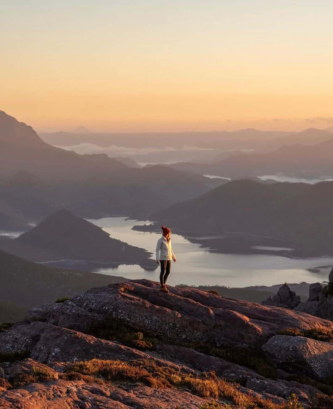
Tasmania makes its strongest case on foot. The best walks in Tasmania circle glacial lakes beneath Cradle Mountain, climb the granite slopes of Mount Amos, follow dolerite sea cliffs at Cape Raoul and cross the white beaches and orange-lichen boulders of larapuna / Bay of Fires. Some take two hours; others carry you through alpine country, rainforest and button grass over the better part of a week.
More than half of Tasmania’s terrestrial area is reserved, while the Tasmanian Wilderness World Heritage Area covers almost a quarter of the state. Ancient forests, quartzite peaks, tannin-dark rivers and coastlines facing the Southern Ocean are not scenery glimpsed through a car window here. They arrive one step at a time.
From the Overland Track and Three Capes to Frenchmans Cap, Maria Island and South Cape Bay, this guide covers Tasmania’s best day walks, multi-day hikes, guided journeys and serious wilderness expeditions, including the difficulty, duration and preparation each one demands.
Tasmania’s Best Day Walks

Mount Amos Summit
Mount Amos wastes no time. From the Wineglass Bay car park, the 3.6-kilometre return track climbs sharply across the granite slabs of the Hazards, with sections that demand hands as well as feet. Allow around three hours and save it for a dry, settled day: the rock becomes dangerously slick when wet, while conditions can change quickly across the exposed summit.
At the top, Wineglass Bay appears in full, its white crescent cut between forest and blue water. This is one for fit, experienced walkers, not casual lookout seekers.
Trailhead: Wineglass Bay Walking Tracks Car Park, Freycinet National Park
Know Before You Go: A valid Tasmanian national parks pass is required.
Cape Raoul
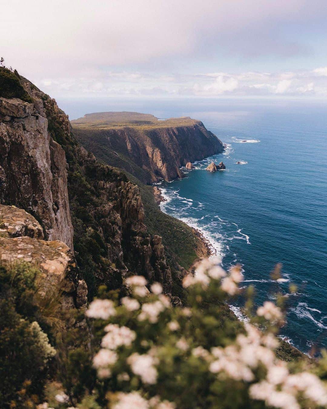
Cape Raoul begins beneath eucalypts and ends above one of Tasmania’s great geological flourishes. The 14-kilometre return track crosses open forest and low coastal heath before reaching the cape, its fluted dolerite columns dropping into the restless Southern Ocean.
Allow around five hours for the Grade 4 walk and pause at the final viewpoints to scan the rocks and offshore islets for seals below. A side track also descends towards Shipstern Bluff, the Tasman Peninsula’s legendary big-wave break. This is a full day walk with real scale, but none of the pack weight or logistics of Tasmania’s longer expeditions.
Trailhead: Cape Raoul Track, Tasman National Park
South Cape Bay
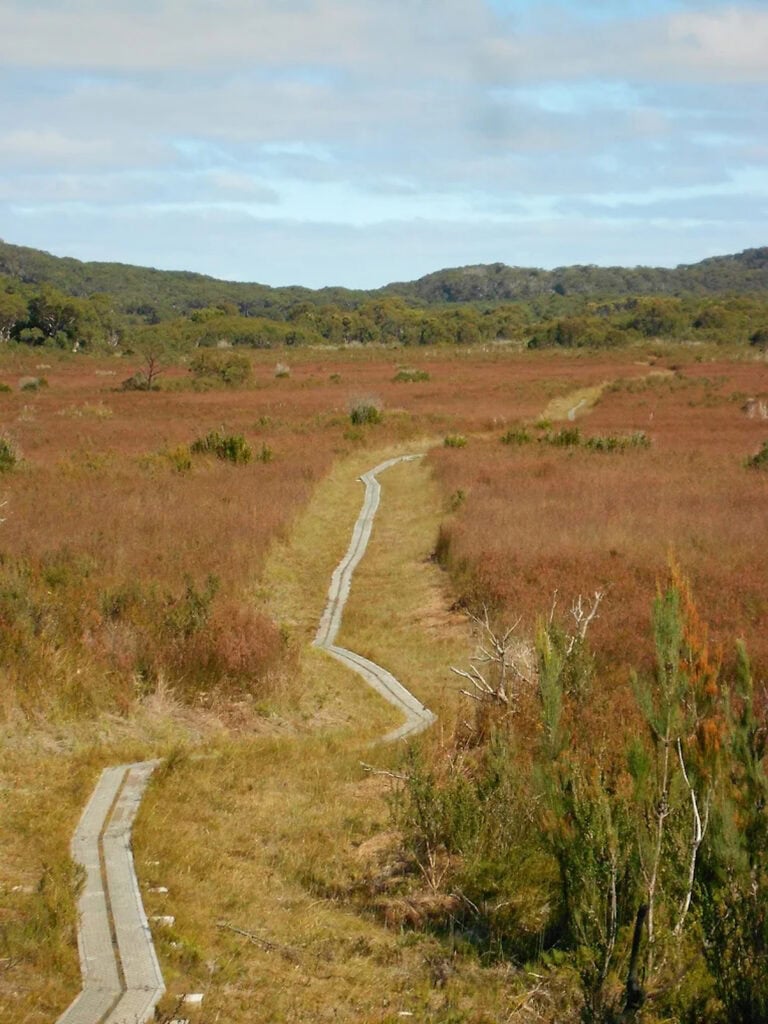
At Cockle Creek, Australia’s most southerly road ends and the walking begins. The 15.4-kilometre return track crosses woodland and broad buttongrass plains before arriving at the cliffs above South Cape Bay.
Steps descend to a beach of sand and sea-smoothed stone, with Lion Rock standing against the Southern Ocean and surf audible long before it comes into view. Allow around four hours, then keep extra time for the beach. Few day walks take you this far south without asking for expedition-level planning.
Trailhead: Cockle Creek, Southwest National Park
Mount Tyndall
Mount Tyndall is short on polite introductions. The roughly 7.6-kilometre return route leaves Anthony Road, pushes through wet scrub and climbs sharply onto the Tyndall plateau, where glacial lakes, exposed rock and the folded ranges of Tasmania’s west coast take over the horizon.
The track can be faint, muddy and overgrown, with cairns, small stone markers, offering guidance rather than certainty. Save it for a clear forecast, carry proper navigation and give the walk the better part of a day. Its modest distance says very little about the effort involved. This is no manicured summit stroll, which is precisely the appeal.
Trailhead: Anthony Road, Tyndall Regional Reserve, near Queenstown
Tasmania’s Best Multi-Day Walks
Overland Track
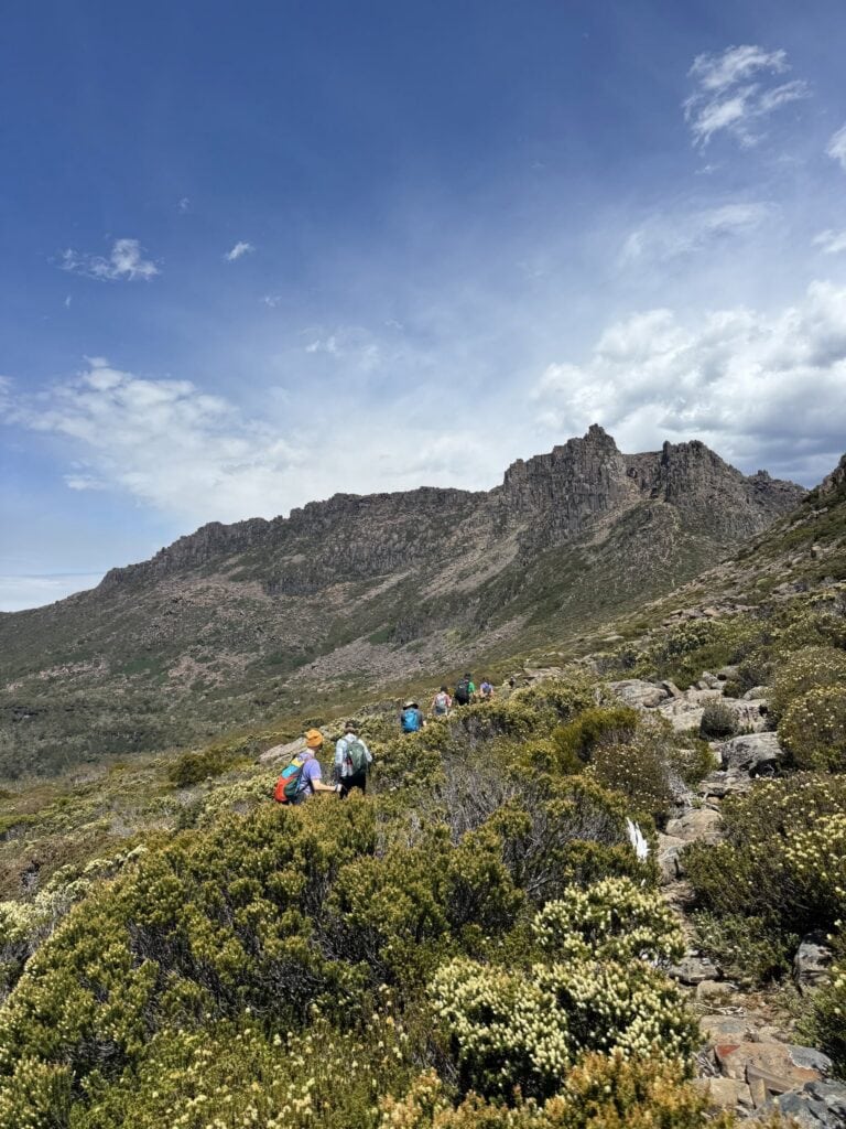
The Overland Track is Tasmania’s great alpine passage: 65 kilometres from Ronny Creek beneath Cradle Mountain to Narcissus on Lake St Clair, usually walked over six days. The trail crosses glacial valleys, ancient rainforest, eucalypt forest, buttongrass plains and high meadows, with optional detours to waterfalls and summits including Mount Ossa, Tasmania’s highest peak.
Nearly half the route sits above 1000 metres, so blue sky can surrender to rain, wind or snow with unnerving speed. Independent walkers carry their own food, sleeping gear and a quality tent. Public huts provide rainwater tanks and composting toilets, but a bunk is never guaranteed.
The traditional finish involves a pre-booked ferry from Narcissus across Lake St Clair, although another 17.5 kilometres on foot will carry determined walkers around the lake. For a softer landing, Tasmanian Walking Company runs a seven-day guided journey with cooked meals and private huts along the route. The mountains still require the miles; dinner simply arrives without having travelled in your pack.
Trailhead: Ronny Creek, Cradle Mountain–Lake St Clair National Park
Three Capes Track
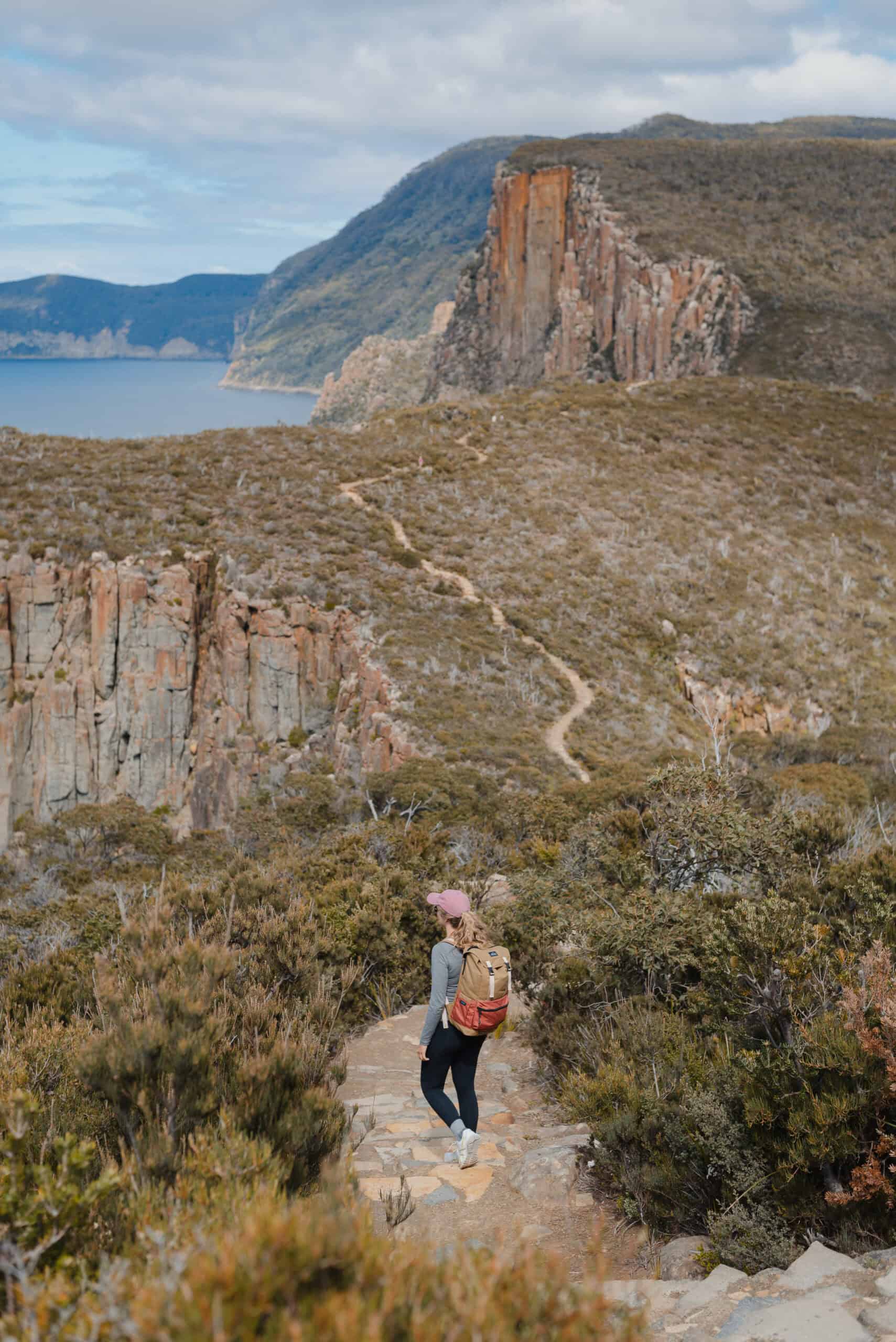
The Three Capes Track begins before the first boot hits the path. Check in at Port Arthur, then cross the harbour by boat to Denmans Cove, watching the Tasman Peninsula’s dolerite cliffs rise from the water ahead.
Over four days and 48 kilometres, the Grade 3 route passes coastal heath, silver gum forest and the vertiginous edges of Cape Pillar and Cape Hauy, with Tasman Island standing offshore beyond the cliffs.
Each evening ends in a purpose-built hut with mattresses, pellet heating and communal kitchens supplied with gas cooktops and utensils, allowing walkers to leave the tent and stove at home. The track is carefully formed, but walking fitness still matters: the longest day reaches roughly 19 kilometres with 650 metres of elevation.
Tasmanian Walking Company also runs a four-day guided version with two private lodge stays, prepared dinners, optional massage and plunge bathing.
Check-in: Port Arthur Historic Site, 6973 Arthur Highway, Port Arthur

Walls of Jerusalem Circuit
The Walls of Jerusalem rewards walkers prepared to carry everything in and leave the road far behind. Across roughly 40 kilometres and three to four days, the circuit moves through exposed alpine country, ancient pines, glacial lakes and campsites enclosed by sheer mountain walls.
Climb Solomon’s Throne, cross Dixon’s Kingdom and watch the weather redraw the landscape without warning. There are no easy shortcuts here, only long days, sharp changes in conditions and the rare pleasure of entering a place still governed by the terrain.
Location: Walls of Jerusalem National Park
Frenchmans Cap
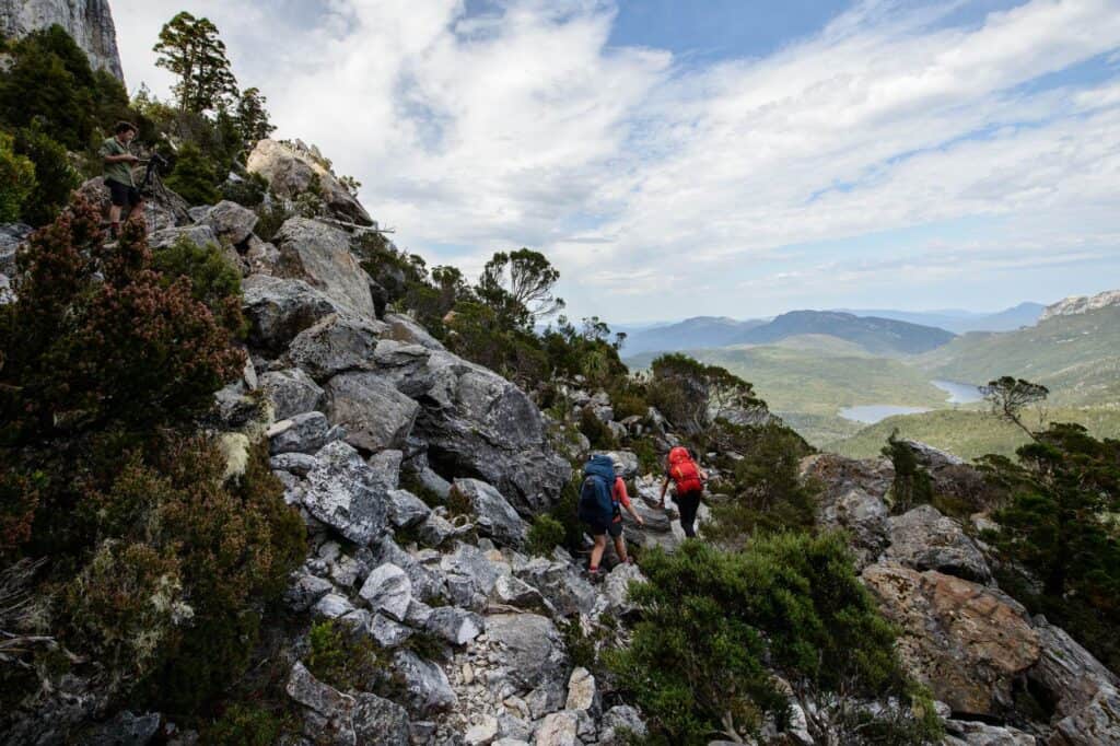
Frenchmans Cap is a 54-kilometre return walk that crosses the Franklin River before passing through buttongrass, deep rainforest and the dark water of Lake Vera. From there, the route climbs sharply to Barron Pass, negotiates exposed alpine country and vertical stairs, then descends towards Lake Tahune beneath the mountain’s white quartzite face.
The final 450-metre ascent is steep and hands-on, and should only be attempted in settled weather. Allow three to five days for the Grade 4 journey.
Vera and Tahune huts provide bunks, toilets and rainwater tanks, but no mattresses or cooking facilities. Carry all food, sleeping equipment and a tent, even with a hut stay planned, and register before departure. From the summit on a clear day, the Franklin River winds through the country below, with the Southwest Wilderness stretching south and distant peaks rising to the north.
Trailhead: Frenchmans Cap car park, Lyell Highway, 29 kilometres west of Derwent Bridge
Freycinet Peninsula Circuit
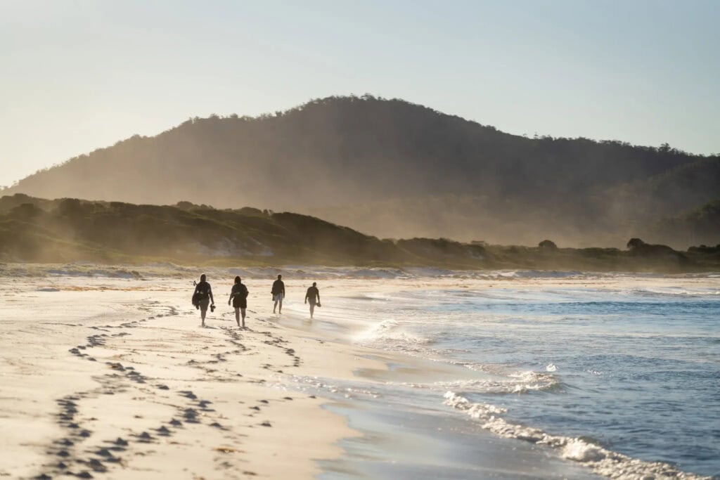
Wineglass Bay gets the postcards; the Freycinet Peninsula Circuit gets the whole coast. Walked anti-clockwise over two or three days, the 27-kilometre Grade 3 route follows Hazards Beach and Cooks Beach before climbing through heathland, forest and granite country towards Mount Graham and the descent into Wineglass Bay.
Campsites sit just behind the sand, making an end-of-day swim less an ambitious wellness plan than the obvious next step. There are composting toilets but no huts, and water can be scarce or unreliable, so carry a tent, stove, treatment method and enough water for the longer stretches.
For those who prefer their granite peaks followed by a shower and dinner, the four-day Freycinet Experience Walk follows a separate guided route through the peninsula, including Schouten Island, Wineglass Bay and Friendly Beaches, with three nights at its secluded eco-lodge.
Trailhead: Wineglass Bay Walking Tracks Car Park, Freycinet National Park
Tasmania’s Best Guided and Lodge-Based Walks
Flinders Island Walk
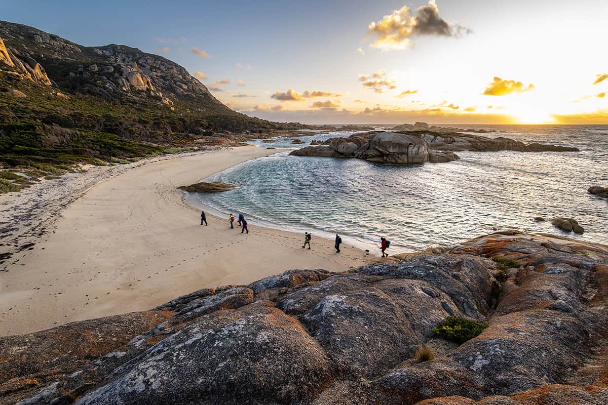
Flinders Island is made for walkers who want the miles without the heavy pack. Over six guided days, this 42-kilometre route climbs Mount Killiecrankie and Mount Strzelecki, crosses the pale dunes of Palana and follows beaches scattered with orange-lichen granite.
Red-necked wallabies appear between the trees, wombats occasionally wander into view and Bass Strait remains close enough for a swim between stages. Vehicle support links each day, leaving you to carry little more than water and a jacket.
Evenings belong to hot dinners, simple showers and raised safari tents at a private beachside camp, with proper beds beneath clear roof panels. The walking remains substantial; the sleeping arrangement has simply decided not to punish you for it.
Location: Flinders Island, Tasmania

larapuna / Bay of Fires Long Weekend
The coast has already handled the styling: white sand, clear blue water and granite brushed with orange lichen. Tasmanian Walking Company’s three-day Long Weekend threads roughly 20 kilometres of beaches, dunes, coastal heath and eucalypt forest, with vehicle support keeping the load to a daypack.
After the first long stretch on foot, two nights at Bay of Fires Lodge bring showers, prepared dinners and uninterrupted access to the coast. The middle day swaps boots for a kayak on Ansons River before returning to the walking trail, with time left for the outdoor bathing pavilion or a treatment at the spa. You still earn the meal, just not by carrying it.
Location: larapuna / Bay of Fires, Tasmania
Maria Island Walk
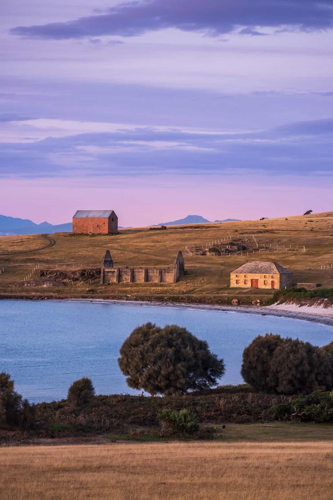
Maria Island has no visitor cars, an absurd number of wombats and the good sense to make you reach its finest corners on foot. Across four guided days and between 25 and 43 kilometres, the route threads white beaches, blue gum forest, fossil cliffs and Darlington’s convict-era buildings, with Bishop and Clerk or Mount Maria waiting for anyone keen to earn dinner the steep way.
The first two nights are spent beneath canvas at secluded wilderness camps, though nobody is roughing it unnecessarily: candlelit three-course dinners arrive with Tasmanian wine, and the final evening moves into heritage-listed Bernacchi House for hot showers, a cheeseboard and one last island sunset.
You carry the daypack, the guides handle the logistics and the wombats remain entirely unimpressed by everyone.
Departure Point: Triabunna Wharf, Triabunna
Tasmania’s Most Demanding Expeditions
Eastern Arthur Range Traverse & Federation Peak
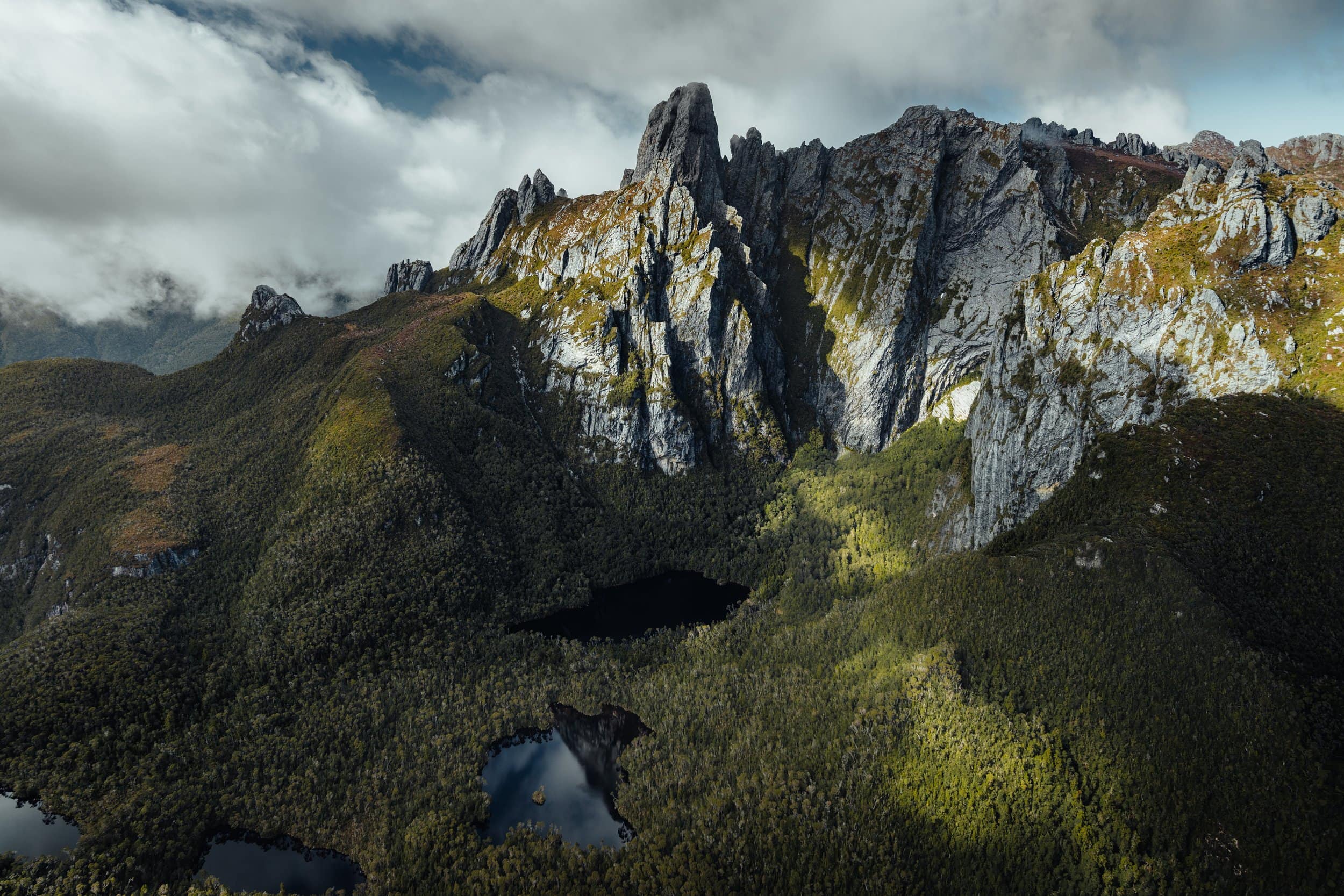
The Eastern Arthurs need no exaggeration. Over six to nine days, the 72-kilometre traverse crosses steep quartzite ridges, exposed scrambles and poorly marked alpine country deep within Southwest National Park.
Federation Peak rises above the range at 1,225 metres, but reaching its summit is not a compulsory finale. The technical ascent carries serious exposure, and many walkers complete the traverse without attempting it.
There are no huts or services along the route, only limited camping platforms and weather capable of changing the shape of a day. This is Tasmania at its most demanding, intended solely for highly experienced and fully self-sufficient bushwalkers.
Sitchu Tip: Treat Federation Peak as a separate technical objective, not an ordinary detour from the traverse. The summit requires climbing skills, sound judgement and settled conditions; a fall on the exposed route is likely to be fatal. Carry paper maps and a compass alongside digital navigation, register before departure and be prepared to bypass the summit entirely.
Location: Southwest National Park, Tasmania
South Coast Track
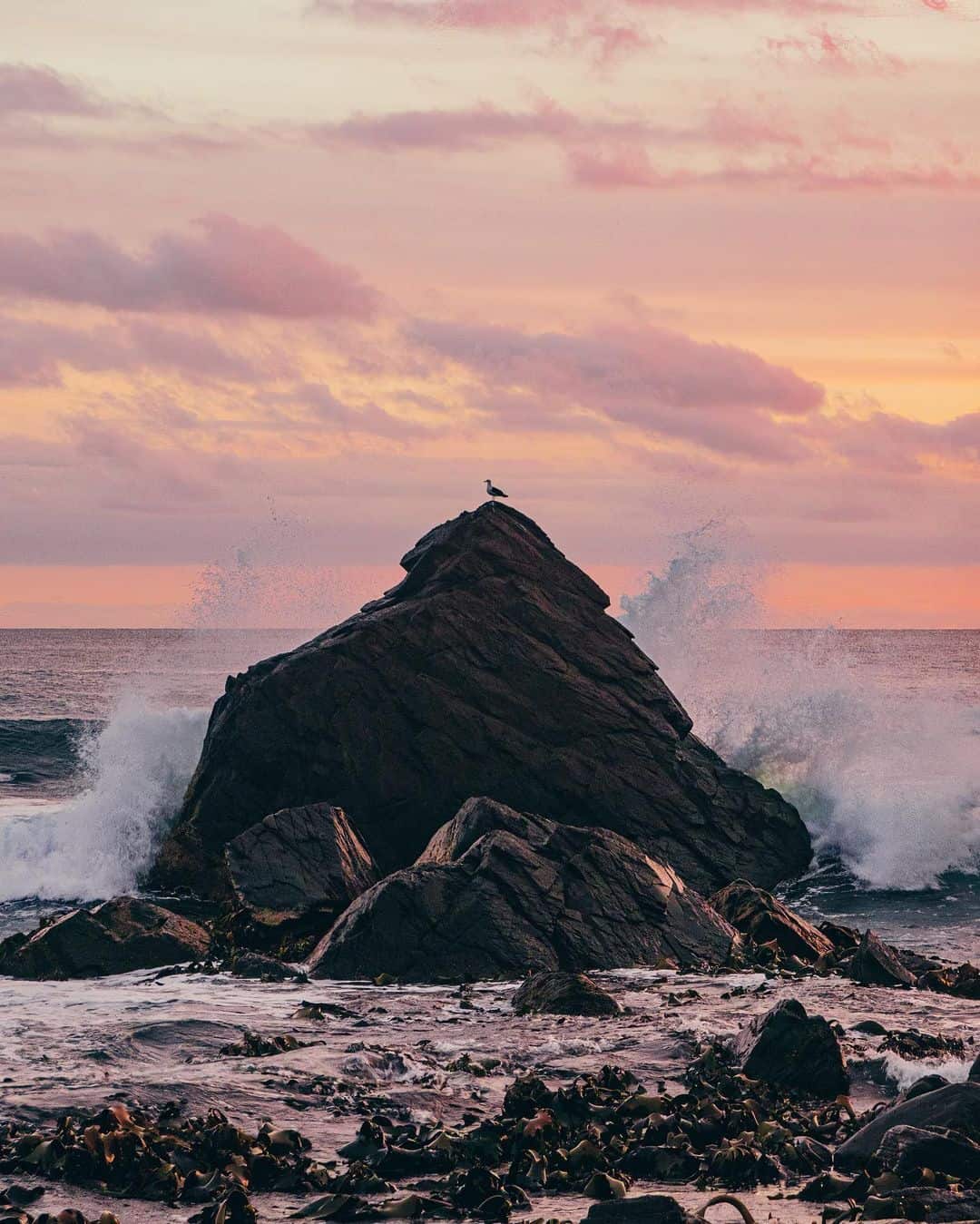
South Cape Bay marks only the final edge of a much larger undertaking. The South Coast Track runs 85 kilometres between remote Melaleuca and Cockle Creek, crossing beaches, rocky headlands, mountain ranges and buttongrass plains over six to eight days.
There are river crossings, deep mud, rapidly changing Southern Ocean weather and no huts beyond Melaleuca. At one lagoon outlet, walkers must row themselves across by dinghy.
Parks Tasmania rates the South Coast Track considerably harder than the Overland Track, placing it firmly in the realm of experienced, entirely self-sufficient walkers rather than ambitious first-timers.
Route: Melaleuca to Cockle Creek, Southwest National Park
Walking is only one way into Tasmania. Beyond the trailheads, cool-climate cellar doors pour pinot beside the vines, while remarkable stays appear across old estates, remote coastlines and forest clearings. Continue planning with our guides to Tasmania’s best wineries and luxury accommodation.